Dipak Taware
CEO
UAV SystemsRTK/PPKData Pipelines
Leads platform & processing stack—accuracy, reliability, and automation at scale.

Orthomosaics, DSM/DTM, contours & volumetrics — fast capture with engineering-ready outputs.
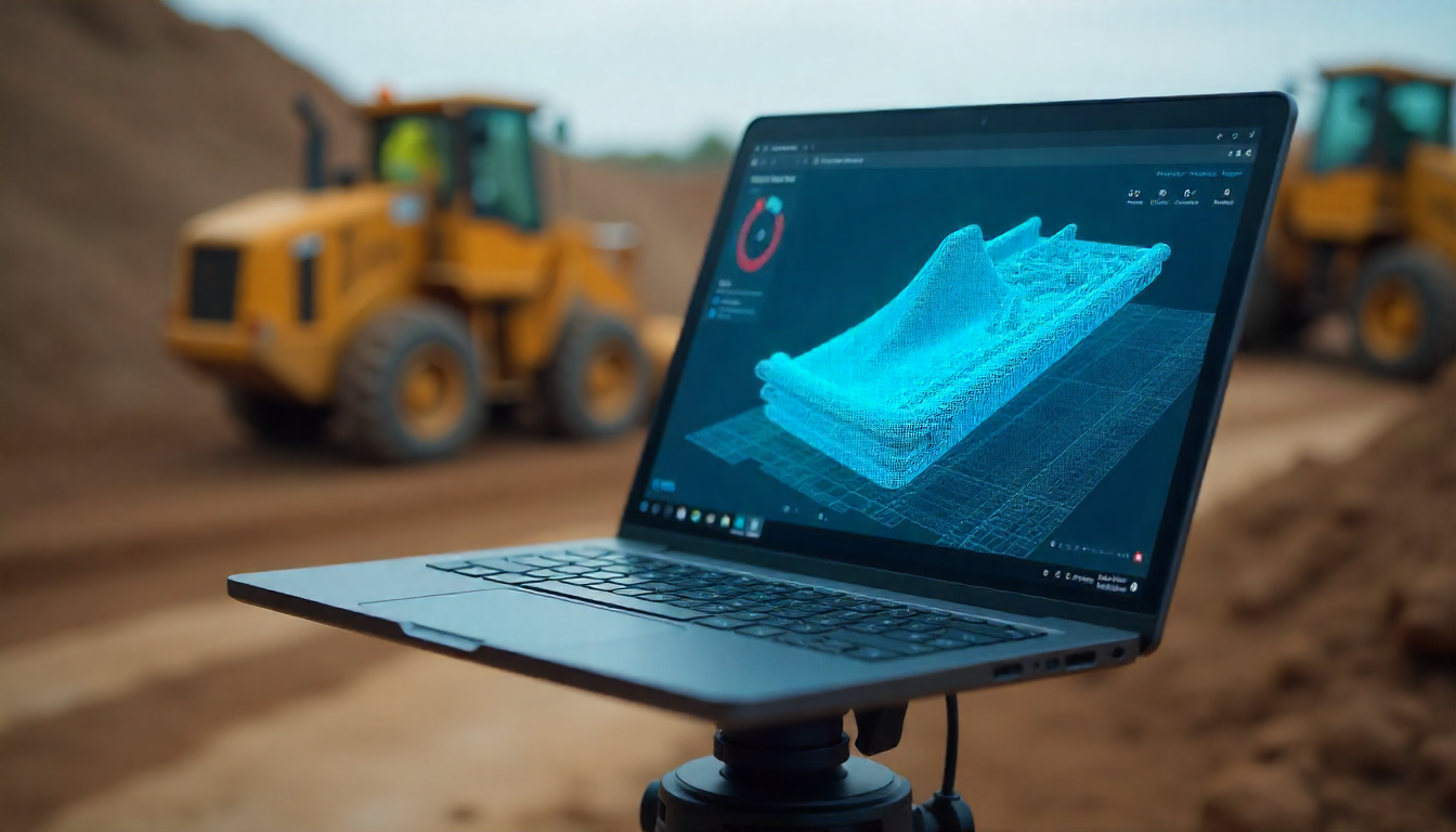
High-density point clouds, mesh models & BIM-ready assets for design, clash checks, and as-built.

Boundary, topo, layout & as-built surveys with GNSS/Total Station + drone integrations.
As a proud division of the Accent Group, we’re redefining land surveying, mapping, and geographic data analysis with advanced drone technologies. Our skilled team and cutting-edge equipment deliver unmatched precision and efficiency in capturing, processing, and handing over geospatial data.
From construction and engineering to real estate and environmental management, we tailor our workflows and deliverables to your project needs—so you can make faster, smarter decisions with confidence.
To revolutionize surveying and mapping by combining STEM excellence with innovative drone solutions—setting new standards for accuracy, reliability, and efficiency.
To deliver high-quality, cost-effective surveying and mapping that simplifies complex projects and boosts productivity—providing precise, reliable, and timely geospatial data.
Orthomosaics (GeoTIFF), DSM/DTM, contours (DWG/DXF), dense point clouds (LAS/LAZ), and 3D models—ready for CAD/GIS.
Engineering‑ready outputs that reduce cost and compress timelines.
Orthomosaics, DSM/DTM, contours for planning and design.
Point clouds, textured meshes, BIM‑ready deliverables.
Roads, transmission, pipeline, & solar PV inspections.
Boundary, topographic, layout, & as‑built surveys.
Our 6-step, DGCA-ready process for survey-grade data — from site plan to engineering deliverables.
Share site area, outputs (orthos, DSM/DTM, contours, point cloud) and formats (DWG/DXF, GeoTIFF, LAS). We map timelines & access.
DGCA compliance, site induction & JSA, airspace check/NOTAM if required. Safety buffer & emergency plan finalised.
GCP & checkpoint layout, RTK/PPK workflow, grid/overlap planning, camera profile & altitude for required accuracy.
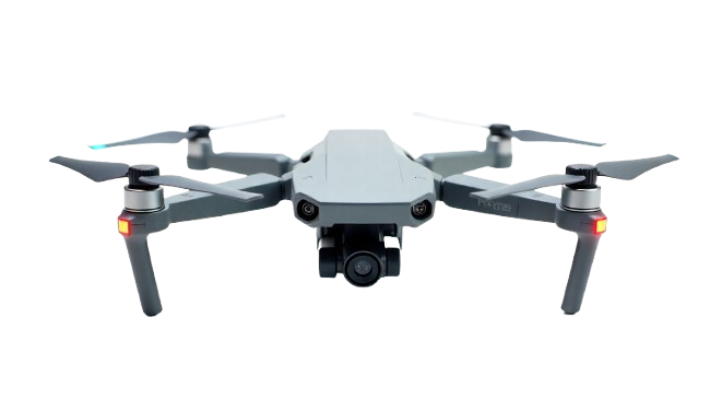
Autonomous grid & corridor flights; RGB as standard, LiDAR/Thermal on request. Redundant batteries & live QC.
Pix4D/Metashape workflow, control adjustment with checkpoints. Accuracy summary (RMSE), gap fixes & peer review.
Orthomosaic (GeoTIFF), DSM/DTM, contours (DWG/DXF), point cloud (LAS/LAZ), 3D models. Cloud share & change support.
A division of the Accent Group — delivering survey-grade geospatial data, on time, every time.
RTK/PPK workflows with GCPs & checkpoints for reliable, cm-level outcomes.
Airspace checks, permissions, JSA & site safety — compliant operations every time.
Optimized capture & processing to compress timelines without compromising quality.
Orthos, DSM/DTM, contours, point clouds & 3D models delivered in CAD/GIS formats.
STEM-driven team with construction, highways, mining & solar project expertise.
Encrypted handling, structured folders & cloud sharing for smooth collaboration.
Construction & Infrastructure • Roads & Highways • Mining • Solar & Power • Real Estate • Agriculture • Environmental
Progress tracking, as‑built, clash checks.
Alignment, RoW, drainage planning.
Stockpiles, volumetrics, safety audits.
Thermal inspections, defect tagging.
Projects Delivered
Happy Clients
Flight Hours
Accuracy (with GCP/PPK)
Trusted by EPCs, developers, and engineering teams.
“Sky Drone Services Pune exceeded our expectations with precise, on‑time deliverables. Highly recommended.”
Krishna Shinde Patil
Construction Project
“Their LiDAR/3D output gave us confidence for corridor planning. Excellent service.”
Riya Kapoor
Infrastructure Planning
“Data accuracy and turnaround were outstanding. Our go‑to team for GIS and surveys.”
Karan Mehta
GIS Lead
Engineers, pilots, and field ops who deliver survey-grade outcomes.
CEO
Leads platform & processing stack—accuracy, reliability, and automation at scale.

CTO
Runs daily ops, permissions, and live QC to keep projects on time.

Field Manager
Coordinates crews, GCP layout, and on-site quality checks.
Call/WhatsApp +91-8698818585 or email accentengineers1@gmail.com. Share site area, outputs, and timeline — we’ll propose the best workflow and quote.
Address: Survey No. 43 & 44, Shrinath Nagar, Hira Sitai Road, Hinjewadi Phase 1 Rd,
Pune, Maharashtra 411057 (Pune-411043)
Hours: Mon–Fri 9am–6pm • Sat 9am–4pm • Sun Closed
Trusted by